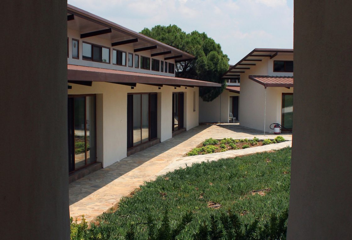
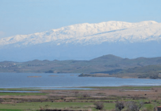
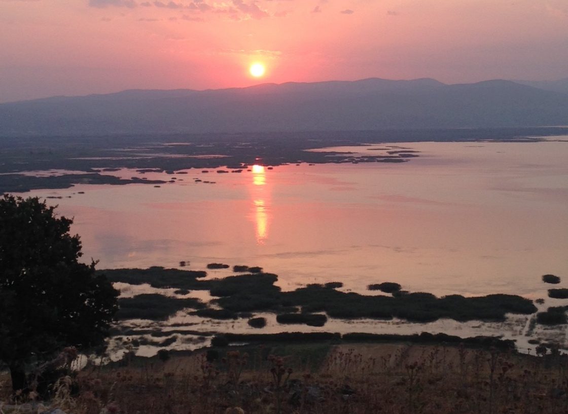
The research center, which among other activities hosts the archaeological mission working at the nearby site of Kaymakçı during the summer months, is located near the village of Hacıveliler in Gölmarmara, Manisa. Overlooking Lake Marmara, the complex consists of different buildings including dormitories, a kitchen and dining room, and work rooms and laboratories for various projects.
Designed by Tim Frank, the architecture of the center acts as one with the local setting. This “performance” approach to design allowed Tim to embrace the various elements of the site, especially the north summer wind and the warm morning sunlight, to maintain temperature. The overhangs and passageways between buildings and the tall ceilings allow for air to circulate with the afternoon and evening summer winds. During the fall through early spring, the glass windows capture the sunlight for passive heating. Tim tested each of his designs using computational fluid dynamics. In addition, he worked extensively with all team members to design personal, communal, and working spaces to meet the needs of an interdisciplinary team.
Remote Sensing
Since the inception of our research in the region, we have actively engaged in non-invasive approaches to understanding regional landscapes and individual sites. From historical aerial photographs (HAPs) from the mid-twentieth century and relatively low-resolution Landsat satellites to high-resolution multispectral QuickBird (now Maxar) and Planet satellites, we use images from above to help guide ground-truthing, ground-based work. Since 2013, unmanned aerial vehicles (UAVs), or drones, have enabled even higher-resolution imagery production and have enabled fine-scale topographic mapping — or microtopographic modeling – as well. Non-invasive subsurface prospection since 2007 has tested a variety of methods, including magnetometry, electromagnetic conductivity, magnetic susceptibility, ground-penetrating radar, electrical resistance tomography, and resistivity. Ongoing work focuses on the last of these methods, which continues to produce the best results for Kaymakçı’s specific conditions, revealing the locations of walls and other features with sub-meter precision.
Regional Interactions
To know a region, to experience a place is an integral part of how archaeologists participate in presenting cultural and natural heritage. Since our work began with the Central Lydia Archaeological Survey (CLAS), we’ve invested a lot in how archaeologists may be part of this perspective. We focus on positive outcomes, seeing communities as integral participants in achieving wider goals to understand, to present, and to preserve the region’s resources.
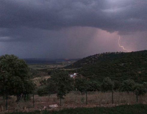
To get out and see places is extremely important. Here you meet people, you enjoy the views, and you understand what it feels like to have the wind at your back or the heat of the mid-day sun on your face, and you know the urgency of rushing to take cover from sudden thunderstorms.
To engage with people of all ages and their perspectives on where they live, watercolor and ebru (“marbling”) workshops brought community members together to explore local cultural and natural heritage through art. Art allows creative approaches to individual perspectives, and such workshops are nice opportunities for community gatherings. The natural and cultural foci of these workshops included local archaeology, landscapes, and, especially, the birds of the Marmara Lake basin.
Related projects focused on exploring the full trajectory of food production, preparation, marketing, and consumption. A later continuation of similar work took form in the SOFRA Project.
This earlier work led to the first-ever “field to table” dinner in the heart of Bin Tepe.
In 2012 CLAS proposed a selection of bike routes through Bin Tepe with different levels of difficulty for bikers of differing experience. We tested the routes, prepared maps, and submitted the concept to the Ministry of Culture and Tourism. This innovative concept may finally be coming to fruition: in 2025 it was proposed to be adopted and adapted as part of the “Heritage for the Future” project (Geleceği Miras Projesi); happily it also complements the ongoing nomination process to inscribe The Ancient City of Sardis and the Lydian Tumuli of Bin Tepe on the UNESCO World Heritage list, also supported by members of Gygaia Projects. We are very pleased by this recognition!
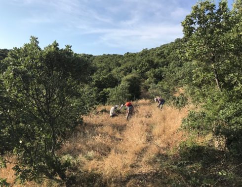
More recently, we’ve expanded our approach to getting out and around the Marmara Lake Basin to enjoy nature-culture spheres. In 2020 we proposed to the Gölmarmara Kaymakamlık a selection of hiking routes that connect the Asphodel Research center to the primary Bronze Age sites that surround the lake basin. It is the beginnings of a “Lydian Way” akin to the well-known “Lycian Way”!
Landscapes
When the Central Lydia Archaeological Survey (CLAS) began, the backbone of the research focused first and foremost on the concept of landscape – a holistic vision of place-making by those inhabiting this region. Change over time, from conceptual understandings to the physical transformation of the landscape, has resulted in shifting ideas for how communities referred to concepts of home and territory. From settled communities to transhumance, rich narratives of the ebbing and flowing of human heritage define this region. From the forests and lakes of the Bozdağ Mountain range, the vast Gediz River plain, the various rivers (Gediz and Alaşehir), the extensive Lake Marmara, and the uplands of the western and northern mountain ranges, our holistic interest continues to be the layers of legacies embodied across these landscapes.
Lake Marmara – Gygaia Limne
Much of the research conducted by Gygaia Projects pivots around Lake Marmara. Afterall, it is the project namesake. Our approach to the study of the lake covers an extensive period, from its initial formation around 10,000 years ago to the current climatic crisis. Nearby natural springs along the northern edge of the lake basin, especially the Akpınar spring, would likely have sustained a small body of water throughout history. Winter rains and runoff enhance this body of water. Even so, hot, dry summers lead to massive fluctuations in the boundaries of the lake, and throughout its history it was known to dry up, at least partially.
To be sure, the lake is shallow (6 meters at its deepest point), and it is also extremely broad. This dynamic body of water, thus, has received considerable attention as a spiritual component of the region, vacillating with seasons and climatic regimes. This fragile natural landscape, however, has been and continues to be modified by human hands. The first intervention into the lake is the subject of current research, as are the most recent interventions, including both the Gördes and Demirköprü dams.
Ongoing research projects that concern the lake include study of the flora and fauna from the archaeobotanical and zooarchaeological collections from the Bronze Age site of Kaymakçı, an ongoing assessment of biological diversity, legacies of ritual associated with the lake, coring programs for paleotopographical, sediment DNA, and climate reconstructions, and a detailed look at Ottoman archives, which demonstrate not only its local significance, but also its regional importance for 18th century and later policies towards wetland management in the Ottoman world.
Food and Society – SOFRA
How and what we eat defines much of who we are as individuals and communities. The SOFRA project explores and celebrates food traditions in the Marmara Lake Basin and beyond from past to present. Gygaia Projects partners with SOFRA in its exploration of the archaeological contexts, village courtyards, family fields, and women’s cooperatives that are all part of this story. Please enjoy the book on histories and recipes as well as links to photographs and videos here: https://sofra.ku.edu.tr.

