Category: Histories

Histories

Ottoman Studies

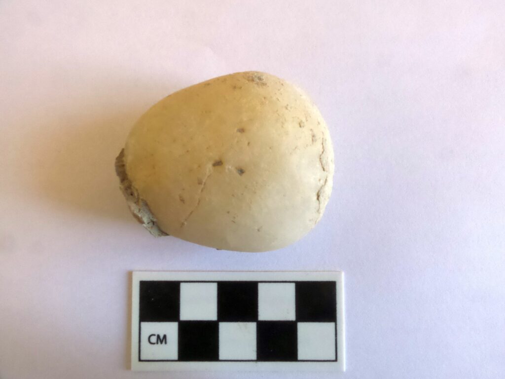
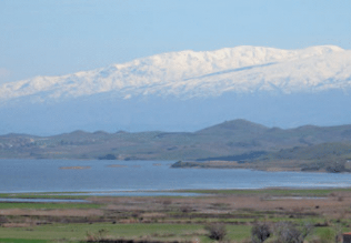
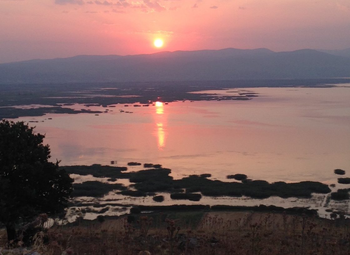
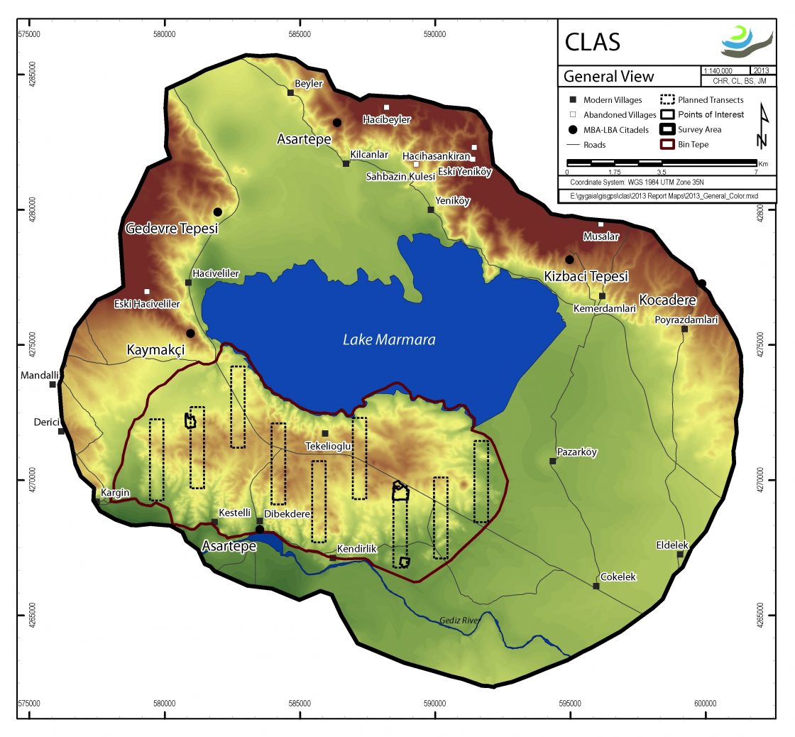
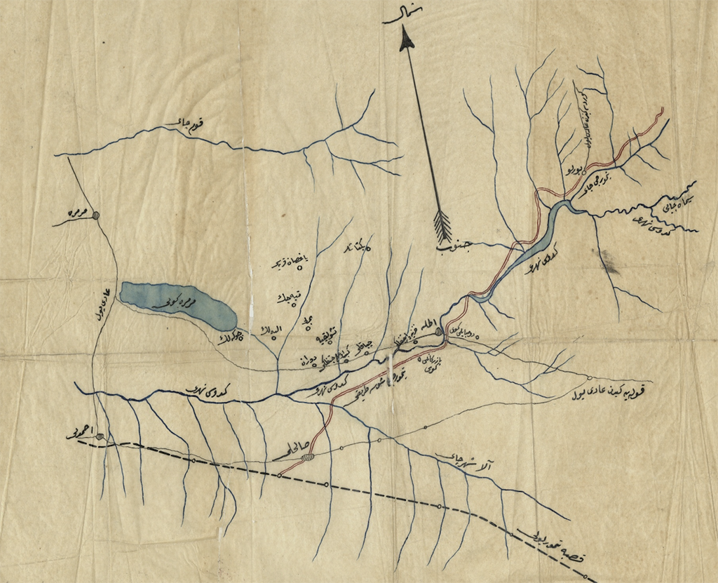
Intensive “digging” into the Presidential Ottoman Archives and Robert College-Boğaziçi University Archives in Istanbul has proved to be extraordinarily interesting for the historical importance of Lake Marmara, the Gediz River, and early archaeology in the region (Bin Tepe and Sardis). Current archival research relates to the period between the late 16th and early 20th centuries. The Middle Gediz Valley is a rich territory for Ottoman narratives on climate change, agricultural production, wetland management, and property relations throughout the period under Ottoman rule. Waqfs (pious foundations) controlled major areas of the region. Princes residing in the palace of nearby Manisa from the 15th to the 17th century played major roles in the waqf management of agricultural land in the valley as well as of the waters and surrounding wetlands of Lake Marmara. Unique historical trajectories define land and lake basin management in the face of dramatic climatic shifts during the Little Ice Age. Current research focuses on the Halime Hatun waqf, which included major components of agricultural and lake resources (fishing, reeds, leeches, etc.). Revenue from taxes collected by the waqf funded the Halime Hatun complex in Gölmarmara, including a mosque, medrese, soup-kitchen, and hammam. These places are today part of Gölmarmara’s Ottoman heritage. The dynamic landscapes of the lake basin offer a hub for exploring the varying scales of global climate shifts among local, imperial, and inter-imperial actors.

In fact this research also gives us the opportunity to place this region firmly within the networks of 18th century Izmir, a major commercial port that connected the middle Gediz Valley to the wider world. This entry triggered increasing competition over land and lake management in the late 18th and thru the early 20th century. Here our work explores Ottoman and non-Ottoman merchants; tax-farmers who competed to gain access to revenues from Lake Marmara, the fertile land, and mines; Cossack refugees who settled in the region as early as the 1830s and made good use of their expertise of socio-ecological knowledge on wetland ecologies to compete with the predominantly Orthodox Greek fishing communities; and local ayan families like the Karaosmanoğlu, who held economic as well as political power in the region. While trying to access and control the resources in the valley, and especially of Lake Marmara, lake communities (intentionally as well as unintentionally) negotiated the micro-climate of the valley and the natural history of Lake Marmara within the context of changing climate and property relations, notably the Tanzimat shifts. This eventually resulted with the emergence of lake management policies.

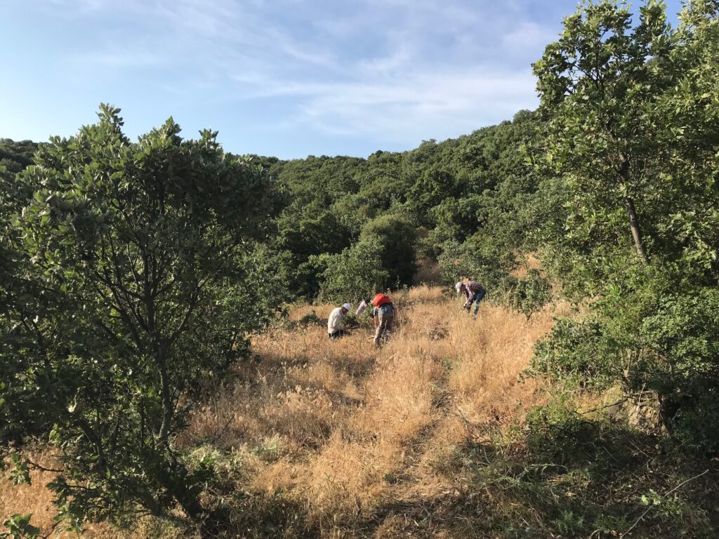
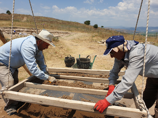
Finally, another important and emerging part of our archival work focuses on the narratives of early archaeologists, from Bin Tepe to Sardis. We’re interested in their agendas, their engagement with modernity, their relationships with Ottoman officials, and the role of conservation and presentation in Turkey, from the late 18th through the mid-20th century.

Affiliated team personnel

Semih Çelik, Koç University


Landscapes

When the Central Lydia Archaeological Survey (CLAS) began, the backbone of the research focused first and foremost on the concept of landscape – a holistic vision of place-making by those inhabiting this region. Change over time, from conceptual understandings to the physical transformation of the landscape, has resulted in shifting ideas for how communities referred to concepts of home and territory. From settled communities to transhumance, rich narratives of the ebbing and flowing of human heritage define this region. From the forests and lakes of the Bozdağ Mountain range, the vast Gediz River plain, the various rivers (Gediz and Alaşehir), the extensive Lake Marmara, and the uplands of the western and northern mountain ranges, our holistic interest continues to be the layers of legacies embodied across these landscapes.

Affiliated team personnel

Christina Luke, Koç University
Chris Roosevelt, Koç University


Survey in the Marmara Lake Basin

The Central Lydia Archaeological Survey (CLAS) was carried out between 2005 and 2014 with the main goal of investigating the long occupational histories of the region surrounding Lake Marmara. Through a combination of regional field survey and intensive site surveys, geophysical investigations, paleo-environmental studies, and the analysis of collected archaeological materials, this 10-year project played crucial roles in the identification of human activities in the region since the Paleolithic and in the reconstruction of settlement patterns from Neolithic through recent times. We view survey as dynamic and thus our survey motto is from prehistory to yesterday – a continual moving “end point” towards current and future research.

CLAS work started as a natural development of previous survey research conducted in 2001 in the area of greater Lydia, where we targeted the documentation of tumuli, or burial mounds, dating to the Lydian and Achaemenid periods. CLAS work began in 2005 with a pilot survey in Bin Tepe, the Lydian cemetery of a “thousand mounds” associated with Sardis, and quickly developed with the goal of exploring the diachronic history of a 400 square kilometer area of central Lydia surrounding Lake Marmara. Methodological approaches combined aerial and satellite reconnaissance and regional field survey with intensive site survey, material studies, and paleo-environmental investigation of the history of the lake itself. Through regional survey we identified and documented over 200 areas of ancient cultural activities, ranging in date from Paleolithic to recent times. Intensive surveys aimed to establish the extent, chronology, and, if possible, the function of targeted sites of more stable human activity, from quarries to occupation mounds.

Aerial and satellite reconnaissance and intensive site survey were integrated with microtopography and geophysical survey at Kaymakçı to explore subsurface remains beginning in 2007. Using a combination of methods, we were able to produce detailed surface and subsurface maps of Kaymakçı’s citadel and surrounding slopes, thus gaining a better understanding of the extent of outer and inner fortification walls and the presence of streets and architectural blocks even prior to the beginning of excavations.

Gygaia Limne – Lake Marmara

Much of the research conducted by Gygaia Projects pivots around Lake Marmara. Afterall, it is the project namesake. Our approach to the study of the lake covers an extensive period, from its initial formation around 10,000 years ago to the current climatic crisis. Nearby natural springs along the northern edge of the lake basin, especially the Akpınar spring, would likely have sustained a small body of water throughout history. Winter rains and runoff enhance this body of water. Even so, hot, dry summers lead to massive fluctuations in the boundaries of the lake, and throughout its history it was known to dry up, at least partially.

To be sure, the lake is shallow (6 meters at its deepest point), and it is also extremely broad. This dynamic body of water, thus, has received considerable attention as a spiritual component of the region, vacillating with seasons and climatic regimes. This fragile natural landscape, however, has been and continues to be modified by human hands. The first intervention into the lake is the subject of current research, as are the most recent interventions, including both the Gördes and Demirköprü dams.

Ongoing research projects that concern the lake include study of the flora and fauna from the archaeobotanical and zooarchaeological collections from the Bronze Age site of Kaymakçı, an ongoing assessment of biological diversity, legacies of ritual associated with the lake, coring programs for paleotopographical, sediment DNA, and climate reconstructions, and a detailed look at Ottoman archives, which demonstrate not only its local significance, but also its regional importance for 18th century and later policies towards wetland management in the Ottoman world.