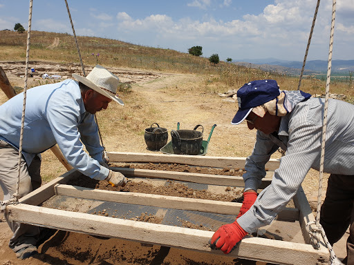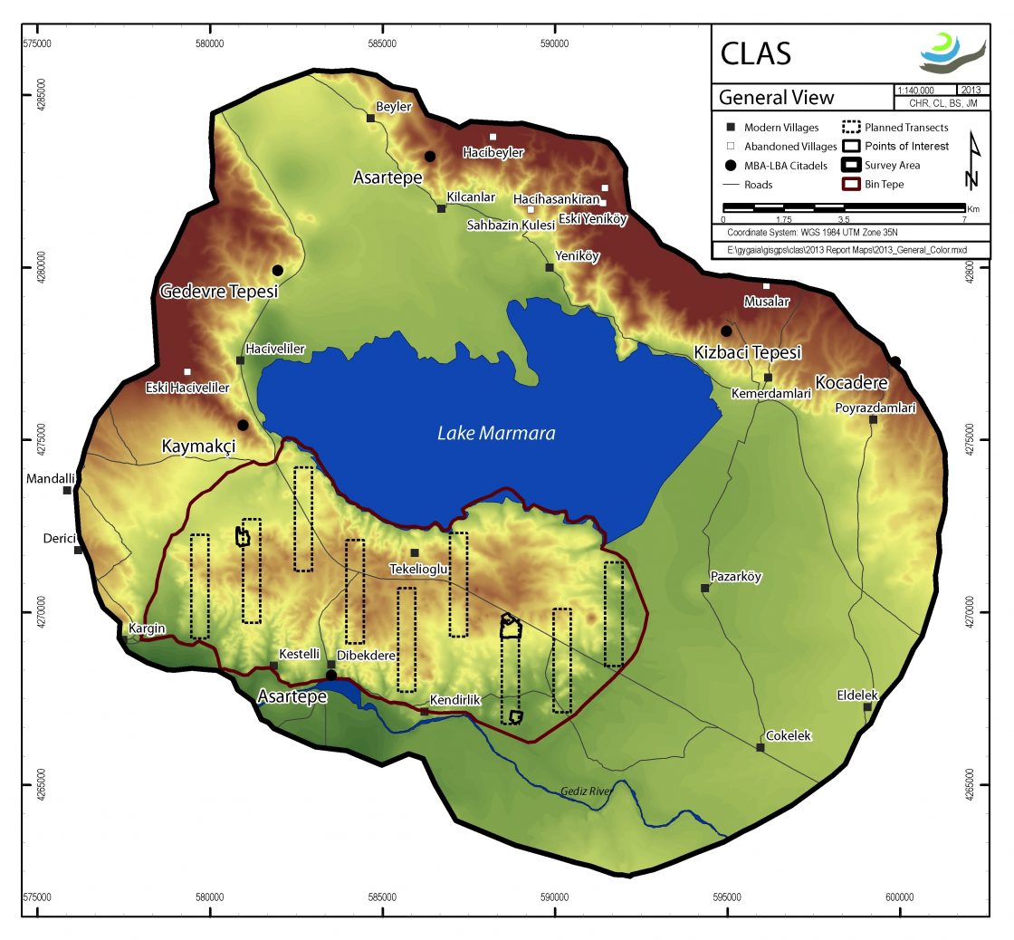
The Central Lydia Archaeological Survey (CLAS) was carried out between 2005 and 2014 with the main goal of investigating the long occupational histories of the region surrounding Lake Marmara. Through a combination of regional field survey and intensive site surveys, geophysical investigations, paleo-environmental studies, and the analysis of collected archaeological materials, this 10-year project played crucial roles in the identification of human activities in the region since the Paleolithic and in the reconstruction of settlement patterns from Neolithic through recent times. We view survey as dynamic and thus our survey motto is from prehistory to yesterday – a continual moving “end point” towards current and future research.
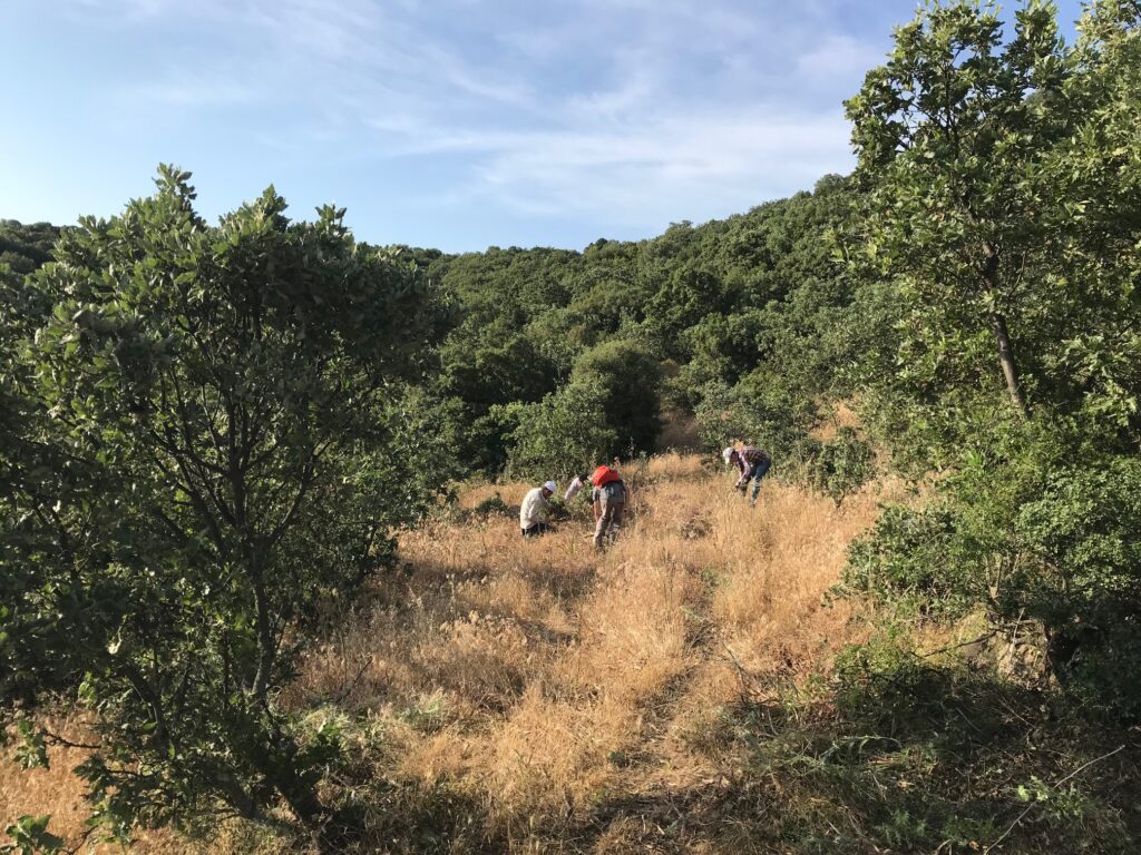
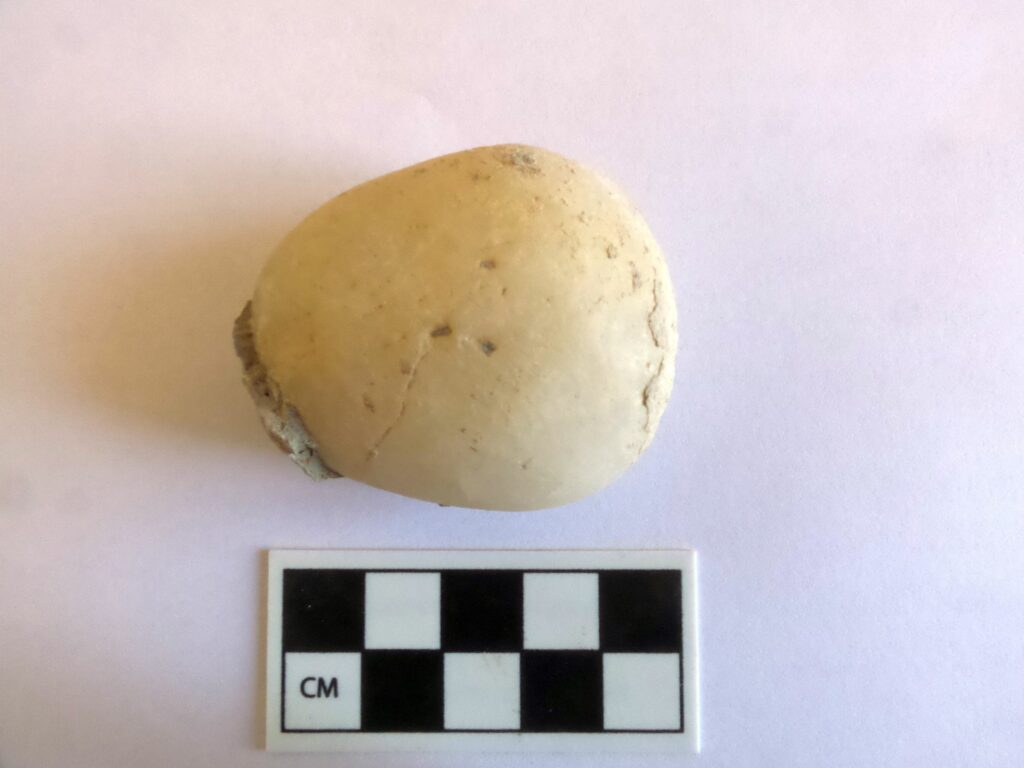
CLAS work started as a natural development of previous survey research conducted in 2001 in the area of greater Lydia, where we targeted the documentation of tumuli, or burial mounds, dating to the Lydian and Achaemenid periods. CLAS work began in 2005 with a pilot survey in Bin Tepe, the Lydian cemetery of a “thousand mounds” associated with Sardis, and quickly developed with the goal of exploring the diachronic history of a 400 square kilometer area of central Lydia surrounding Lake Marmara. Methodological approaches combined aerial and satellite reconnaissance and regional field survey with intensive site survey, material studies, and paleo-environmental investigation of the history of the lake itself. Through regional survey we identified and documented over 200 areas of ancient cultural activities, ranging in date from Paleolithic to recent times. Intensive surveys aimed to establish the extent, chronology, and, if possible, the function of targeted sites of more stable human activity, from quarries to occupation mounds.
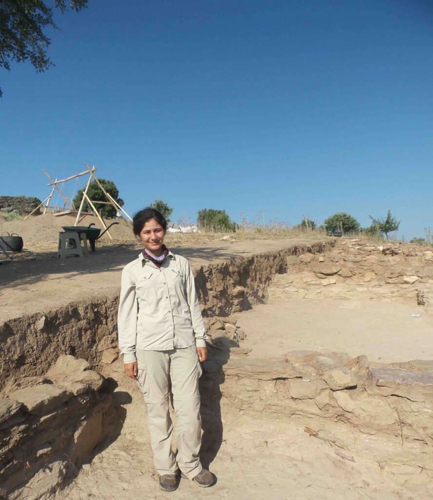
Aerial and satellite reconnaissance and intensive site survey were integrated with microtopography and geophysical survey at Kaymakçı to explore subsurface remains beginning in 2007. Using a combination of methods, we were able to produce detailed surface and subsurface maps of Kaymakçı’s citadel and surrounding slopes, thus gaining a better understanding of the extent of outer and inner fortification walls and the presence of streets and architectural blocks even prior to the beginning of excavations.