Category: Survey and Landscape

Survey and Landscape

Conservation

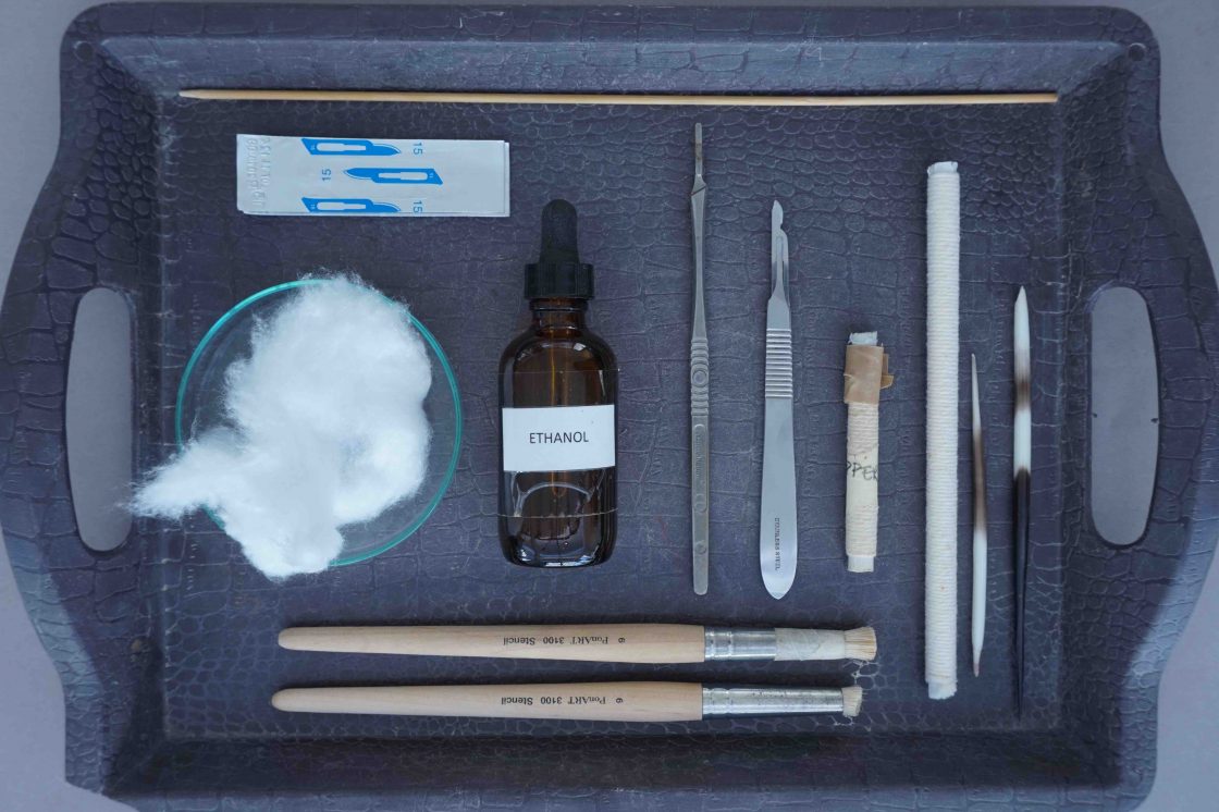
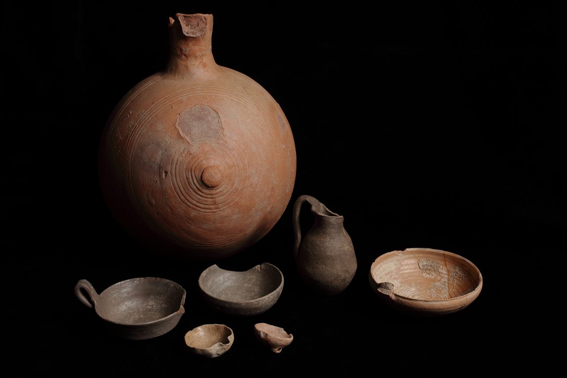
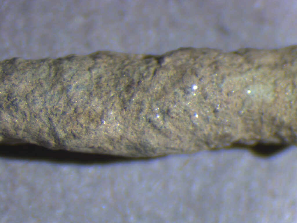
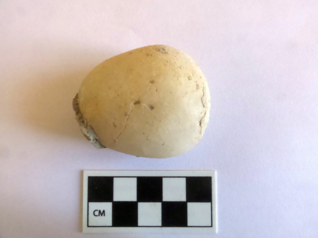
Current conservation efforts at Kaymakçı focus on site-level support for excavations at Kaymakçı and the processing, stabilization, and curation of archaeological materials. An ongoing training program pairs an expert conservator with students. Working with primary data, the conservation team focuses on stabilization of materials, from metals and glass to ceramics and pigments. A conservation laboratory at the research center allows for primary treatment of study materials prior to storage and transfer to the regional Manisa Museum of Archaeology and Ethnography. In addition, the conservation team oversees the excavation process, consulting as necessary when fragile or unique contexts require especially careful extraction. The conservation team also manages the closing of excavation areas with protective coverings (geotextile) at the end of each season as well as their opening at the beginning of subsequent seasons.

Ceramics

Pottery fragments represent the most conspicuous category of archaeological materials found both on the surface and within the buried layers of archaeological sites. From the CLAS dataset, our project has been working to establish the first broad-scale typology for the region. Of course, detailed excavations at Kaymakçı and at nearby Sardis, provide “anchors” that allow us to refine specific windows of time. So far the chronology from Kaymakçı has yielded a rich repertoire of pottery, with the best-documented categories being ware types representative of the mid and late second-millennium BCE ceramic horizon of the region. In particular, Red-Light Brown (RLB), Gray, and Red-and-Brown Coarse (RBC) wares constitute the major groups of the Kaymakçı pottery assemblage.

Past ceramic analyses focused on studies of production over time. Here our researchers explored the chemical fingerprints from neutron activation analysis of ceramics to demonstrate likely shifts in workshop organization. As we might expect, during periods of low occupation and rural hamlets, production was decentralized; yet during periods of urbanization, production was far more centralized.

Future studies are focusing on identity and performance, as indicated by surface treatment. Of special interest is the local gold and silver wash as well as painted wares of the second-millennium BCE indicative of foreign connections. In addition, researchers are engaged in new technologies of documentation and analysis, from 3D scanning and laser profiling to thin-section petrography, scanning electron microscopy (SEM), x-ray florescence (XRF), and Raman spectroscopy.

Survey in the Marmara Lake Basin

The Central Lydia Archaeological Survey (CLAS) was carried out between 2005 and 2014 with the main goal of investigating the long occupational histories of the region surrounding Lake Marmara. Through a combination of regional field survey and intensive site surveys, geophysical investigations, paleo-environmental studies, and the analysis of collected archaeological materials, this 10-year project played crucial roles in the identification of human activities in the region since the Paleolithic and in the reconstruction of settlement patterns from Neolithic through recent times. We view survey as dynamic and thus our survey motto is from prehistory to yesterday – a continual moving “end point” towards current and future research.

CLAS work started as a natural development of previous survey research conducted in 2001 in the area of greater Lydia, where we targeted the documentation of tumuli, or burial mounds, dating to the Lydian and Achaemenid periods. CLAS work began in 2005 with a pilot survey in Bin Tepe, the Lydian cemetery of a “thousand mounds” associated with Sardis, and quickly developed with the goal of exploring the diachronic history of a 400 square kilometer area of central Lydia surrounding Lake Marmara. Methodological approaches combined aerial and satellite reconnaissance and regional field survey with intensive site survey, material studies, and paleo-environmental investigation of the history of the lake itself. Through regional survey we identified and documented over 200 areas of ancient cultural activities, ranging in date from Paleolithic to recent times. Intensive surveys aimed to establish the extent, chronology, and, if possible, the function of targeted sites of more stable human activity, from quarries to occupation mounds.

Aerial and satellite reconnaissance and intensive site survey were integrated with microtopography and geophysical survey at Kaymakçı to explore subsurface remains beginning in 2007. Using a combination of methods, we were able to produce detailed surface and subsurface maps of Kaymakçı’s citadel and surrounding slopes, thus gaining a better understanding of the extent of outer and inner fortification walls and the presence of streets and architectural blocks even prior to the beginning of excavations.