
Lake Desiccation or an Anticipated, Annual Retreat?
Gygaia Projects
Gygaia Projects
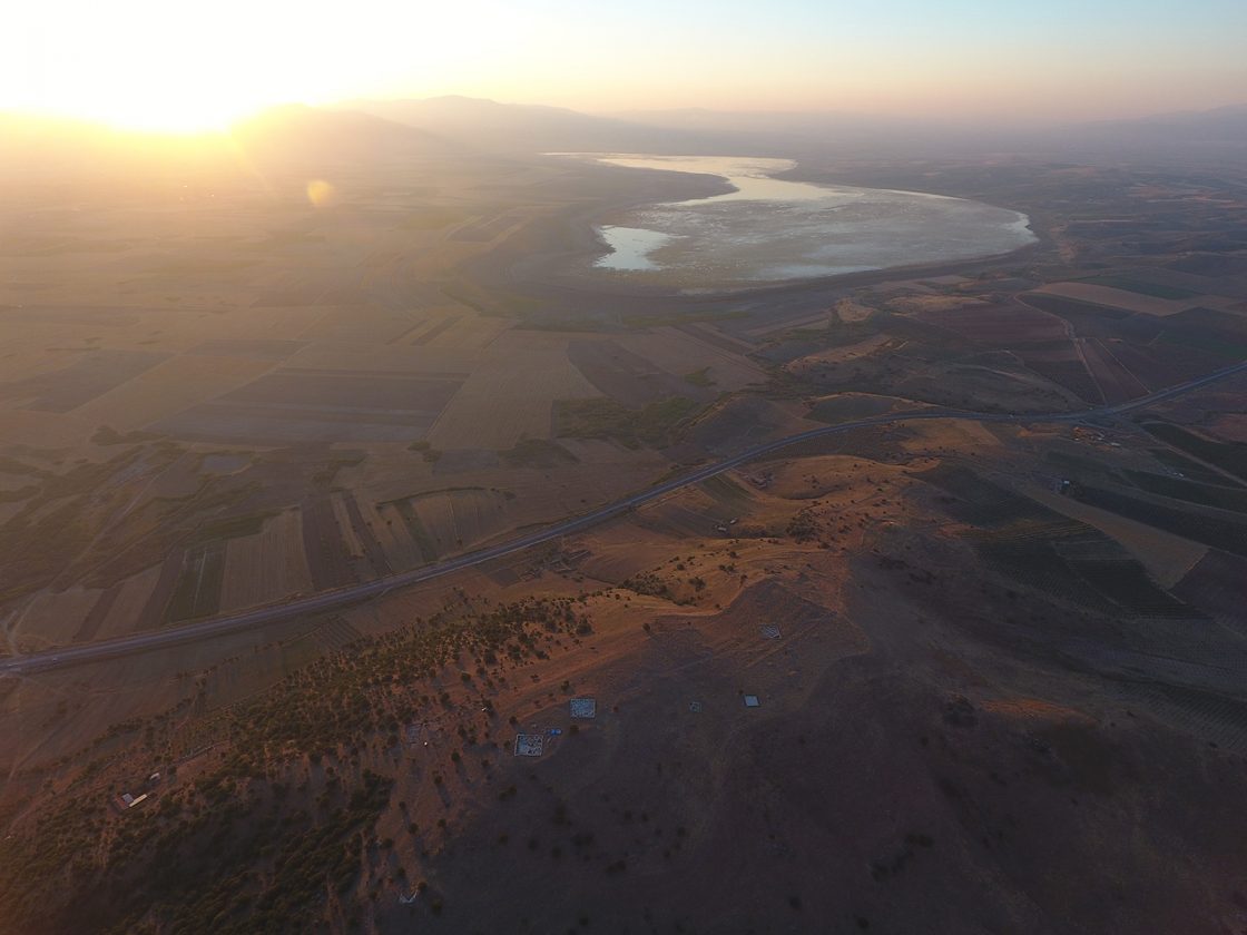
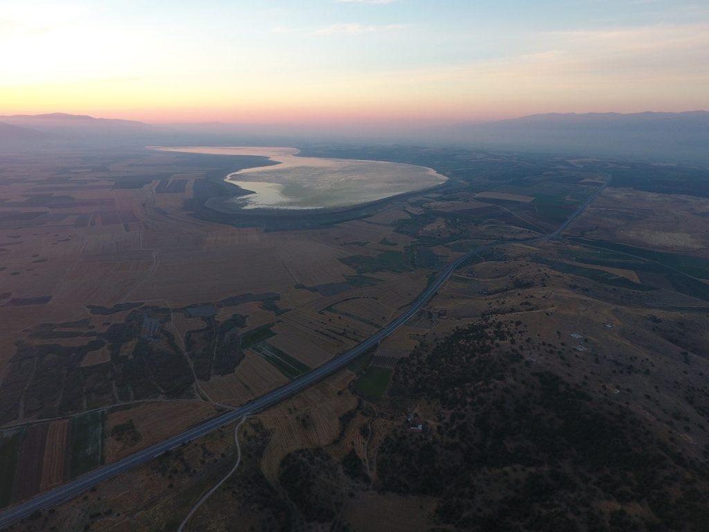
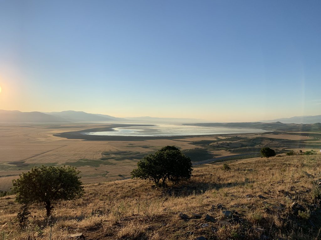
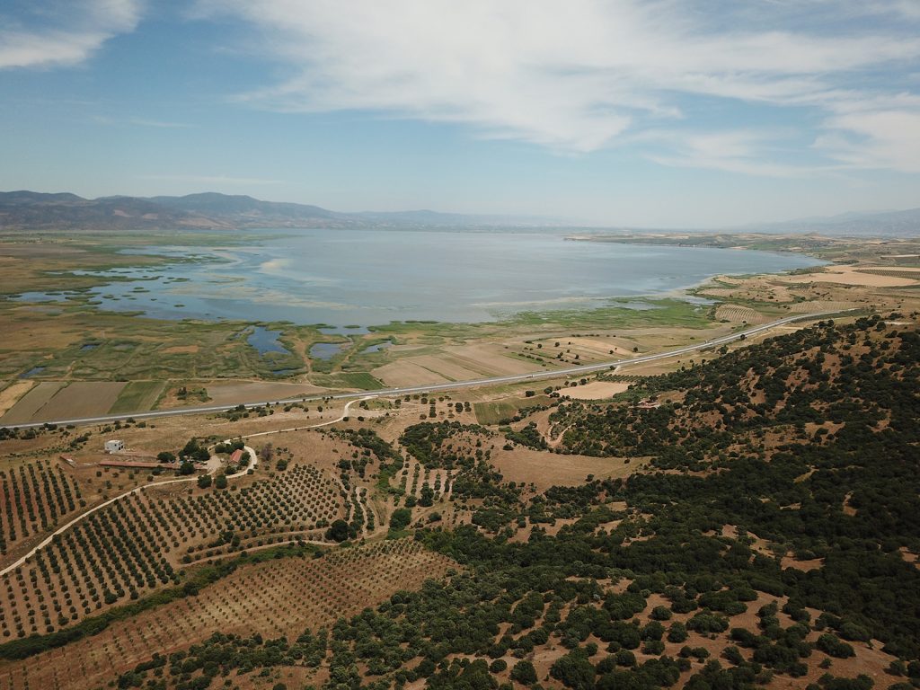
With concerns mounting over climate change, the vantage point of our daily lives puts this reality front and center in our minds. We awake each day to the sun rising over the mountains that flank the northern shores of Lake Marmara. And… each day the shoreline grows. We know from the Ottoman records that this pulse lake – known by ancient authors as the Gygaean Lake or Lake Coloë – has been ebbing and flowing for centuries.
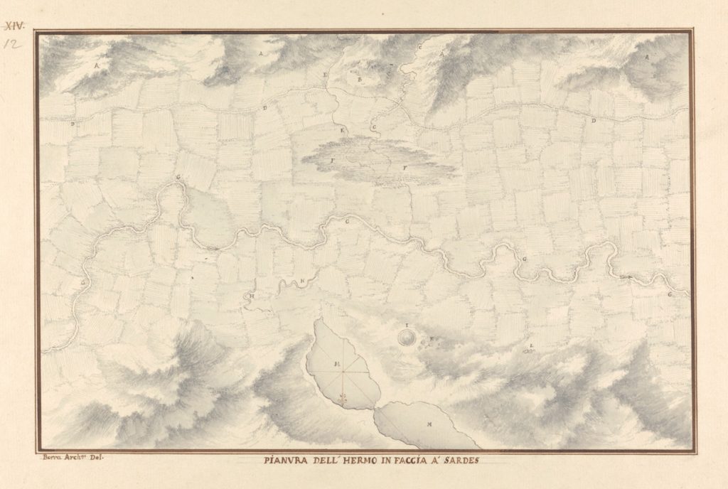
Giovanni Battista Borra’s 1750 map (now at Yale University) demonstrates the performance of this body of water. With rising temperatures and other pressures, is this a serious turning point? Or will annual rains, perennial springs, and the modern infrastructure work together to refill the lake basin come winter 2021? How might a more nuanced reading of Ottoman records and archaeological assemblages inform our thinking of this performance landscape? Be sure to follow our continuing posts and forthcoming publications.
Look forward to more posts from Gygaia Projects soon!